
Dale City Neighbors by Parcel
Dale City is a Prince William County CDP, not an incorporated city. That means the County GIS, assessment, land, planning, and association-information channels are the relevant starting points for a block question. The best public sources describe land, recorded interests, a development project, or an organization. They do not prove who occupies a parcel on a given day. Begin by asking a narrower question: which parcels touch this parcel, what GPIN identifies each one, or which official community source describes the area?
| Block source | What it shows | Access |
|---|---|---|
| County Mapper | Address, GPIN, parcel display, layers, and visible adjoining parcels | Public map; lines are approximate |
| Real-estate assessment portal | Ownership, sale, legal-description, land, and improvement data | Public property record; not an occupancy list |
| County ePortal | Construction and land permits, plans, inspections, and hearings | Public search; scope varies by record |
| County HOA/COA information | Voluntary verified association contact channel | County is not an association’s governing authority |
| RELIC | Historical directories, newspapers, maps, and local sources | Online and in-person research routes |
Property ownership and a mailing address may point to a person, business, trust, or estate with a legal interest. They should not be restated as proof of current residence. For a wider route along a named road, use the separate Dale City street directory rather than extending an immediate-parcel check into a whole-street roster.
Dale City Block Parcels for Neighbors
GPIN is the County’s ten-digit, proprietary-grid parcel identifier. It connects County Mapper, the assessment record, Parcel History Tree, permits, and land documents. County Mapper accepts a GPIN in the form xxxx-xx-xxxx, including a partial GPIN; it also offers street number, partial street name, street-type, and an additional property filter. The County says its parcel lines are approximate and are not a legal description, survey, construction reference, or floodplain determination.
At a scale of 1:4,800 or closer, Show Parcel Info becomes available. Turn on the parcel and land-record layers, identify the target, record the visible adjoining GPINs and addresses, then repeat for each touching parcel. The reviewed County Mapper material did not establish a resident-directory tool for every parcel within a chosen distance. Measure tools are not evidence of a neighbor relationship.
- Find the known Dale City address or GPIN in County Mapper, keeping the Woodbridge postal term available when needed.
- Zoom to the target and use parcel information to record the target GPIN, address, and visible adjoining GPINs.
- Compare each parcel with the assessment portal and, when a lineage question matters, the Parcel History Tree.
- Use recorded plats or deeds only for the land question at issue. Do not turn adjoining parcel data into an assumed household list.
Note: A GPIN helps connect County systems, but it is an identifier for land geometry and records, not a name for a resident.
Dale City Address Projects and Permits
Prince William Development Services makes construction permits, land permits, plans, inspections, and hearings searchable through ePortal without an account. Permit queries can use an address, permit number, or project name; plan queries can use an address or plan type. The inspected official sample lists Plan Number, Applied Date, Type, Completion Date, Expiration Date, Status, Main Parcel, Project Name, Address, and Description. Those fields can explain a change on a lot, but an application is not proof of approval, completion, ownership, or a present household connection.
Compare a permit result with the subdivision, phase, lot, or GPIN and then with a recorded plat if the project history requires it. The County warns that some plans can involve sensitive or proprietary material and may need an authenticated or in-person request. Use only the record that is released by the proper custodian.
The Prince William County ePortal shows the public search route for permits, plans, inspections, and hearings.
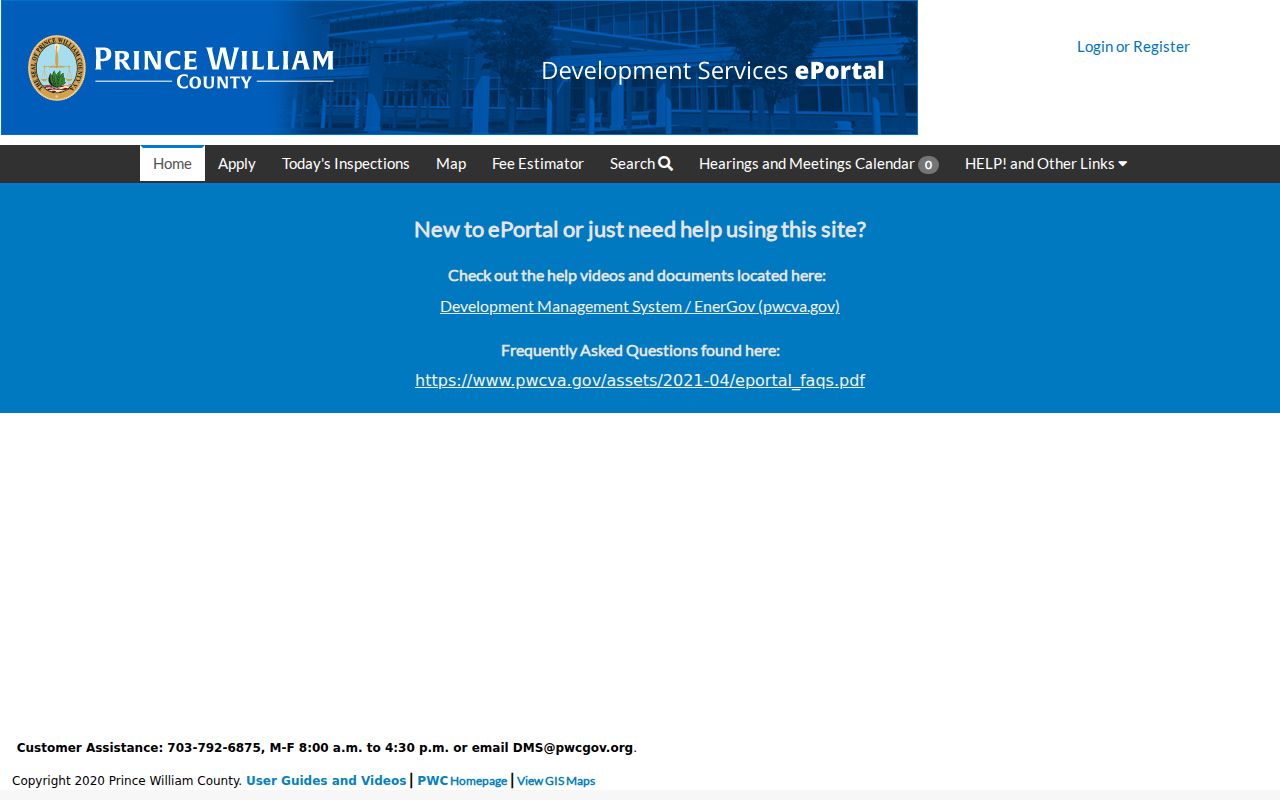
Read an ePortal result as an address-history clue and preserve its plan or permit number and dates for later comparison.
Dale City Community Contact Records
Association information needs careful labeling. The County’s HOA and condominium-association resource refers to a voluntary verified contact database, and the County is not the governing authority of an association. A contact listing is an organization route, not a membership roster. The research did not preserve live results or current directory controls, so only a direct, current contact found through that official channel should be used for an association question.
| Community source | What the research supports | How to use it |
|---|---|---|
| Dale City Civic Association | County history ties it to early civic meetings and community-facility advocacy. | Use historical context; do not infer present membership from an address. |
| County HOA/COA channel | Voluntary verified association contact information may be available. | Request or check an organization contact through the official County route. |
| 1988 Welcome to Prince William guide | It lists Dale City Civic Association and several historical community associations. | Treat it as a dated snapshot, not a current association register. |
The historical guide also names Bayside Park, Lake Ridge-Occoquan, Marumsco Acres, Marumsco Woods, Montclair, and Mid-County associations. Those names can help date a newspaper or directory clue. They should not be presented as a current Dale City roster or a way to identify individual neighbors.
The County HOA and condominium-association information page describes the official channel and its limits.
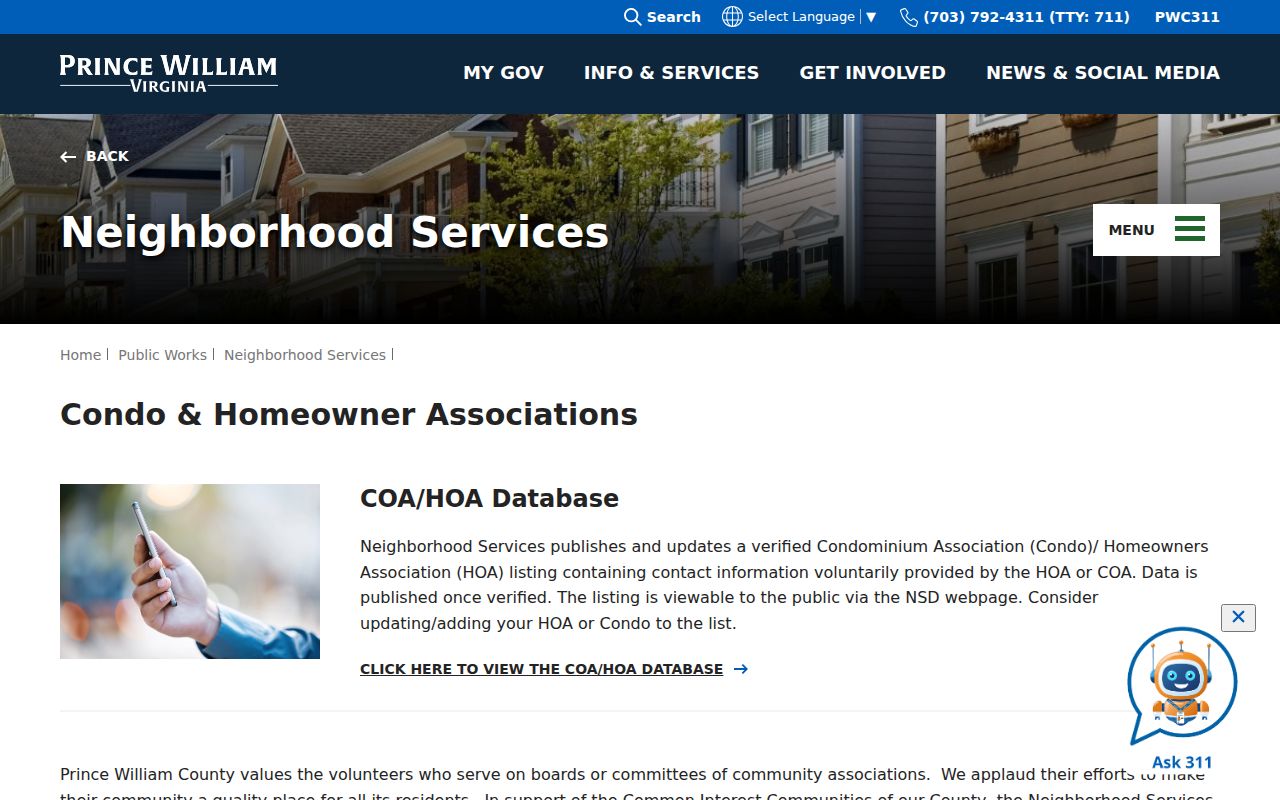
Use a verified association contact for an organization inquiry, while leaving household identity and protected information outside the request.
How Dale City Neighbors Made Civic Records
Dale City’s planned-community history gives a block context that a parcel map cannot. The County says the community opened on June 19, 1965 with twelve model homes, and the first family moved in late that year. By July 1968, the County history estimated 8,170 residents and 2,070 households. These numbers describe community growth, not a list of people. They help explain why early Dale City research may start with plats, development records, and postal wording rather than an older municipal directory.
The County history distinguishes the Dale City Civic Association from the Dale City Sanitary District. Both were associated with the farmers’ market, but they had different legal roles, and the sanitary district dissolved in 1996. The Small Area Plan, adopted in 2019, is useful for planning and historic-area context, but it does not define current parcel ownership or a legal neighborhood boundary.
The Dale City Small Area Plan and StoryMap provide the County’s planning context for this CDP.
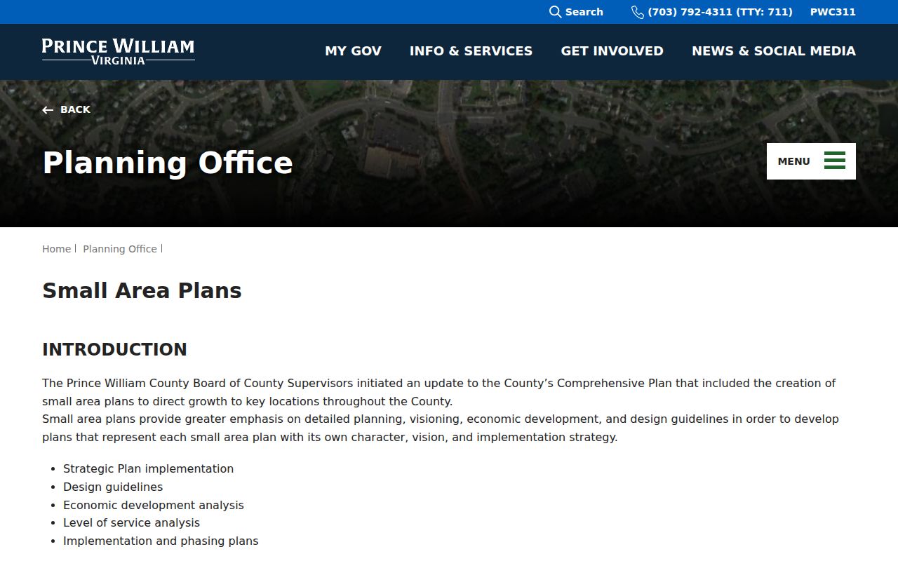
Use the plan to understand corridors and planning history, then return to parcel and recorded-document sources for a specific land question.
Virginia Voter Records Around Dale City
Virginia’s citizen portal is designed for individual registration information, including registration status, polling place, election districts, absentee status, and voting history after its identity flow. The dynamic input labels were not captured in the research, so a person’s voter information should never be guessed from a nearby address. The Prince William Office of Elections can address registration and address-update questions through its own official procedures.
Virginia Code §24.2-444 allows inspection of limited registration-list information under conditions, including name, residence address subject to protections, year of birth, gender, and election districts. It excludes Social Security information, the day and month of birth, protected addresses, declination data, and the registration agency. The request form requires a statement of responsibility and limits lists to authorized purposes. A voter list is not a general neighbor tool, and it should not be compiled or republished as one.
Note: A polling district identifies an election geography, not a block membership list or a reason to contact people at surrounding addresses.
Comparing Dale City Neighbor Sources
Official sources are strongest when the question is narrow and their scope is clear. Commercial neighbor-search services may combine old addresses and unverified data from sources the reader cannot inspect. They can be costly, ambiguous about update dates, and weak at separating an owner, a business contact, a former address, or an unrelated person with the same name. A County map or record will also have limits, but its custodian and record type are visible.
| Official record route | Commercial neighbor tools |
|---|---|
| States the public office, record type, and access boundary. | May combine sources without a clear source-by-source explanation. |
| Can support a limited parcel, permit, recorded-document, or organization question. | May blur dates, same-name results, and relationship claims. |
| Allows a reader to return to the custodian for correction or clarification. | Does not replace checking the public custodian’s own record. |
For a historical block question, RELIC’s directories, newspapers, maps, and yearbooks add time stamps that a current map cannot. Historic Prince William’s 1972 street map may help crosswalk an old road or subdivision name, while the County GIS basemap and USPS standardization can test the modern form. Neither source proves who occupied a building on the map date.
Dale City Neighbor Privacy Boundaries
A parcel map shows land, not a complete household. Assessment, permit, association, voter, court, and DMV records each have their own redactions and lawful-access rules. Virginia’s Address Confidentiality Program gives eligible participants a substitute mailing address and directs agencies to protect the physical address. If a record indicates a substitute or protected address, do not triangulate an actual location or seek it through adjacent public records.
County Neighborhood Services offers reporting channels through its website, PWC 311, phone, chatbot, and in person. A complaint or code case is an allegation or agency action, not a finding about a person. Request only releasable case records and do not publish protected complainant information. The County also advises people not to submit sensitive personal information through its service channels.
The County Neighborhood Services overview identifies the community-engagement and code-reporting route.
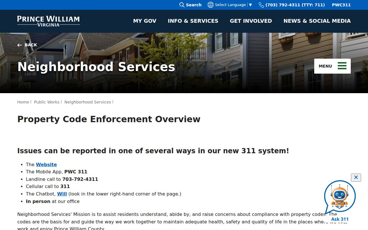
Use official service routes for a specific County matter, and do not turn a report, record, or map into unwanted monitoring of another person.
Lawful use. Dale City neighbor research is for personal, lawful questions about a block and community. Do not use any result to stalk, harass, intimidate, or expose a protected person.