
Trace Dale City Streets by Address
A Dale City street search begins with a parcel, not a presumed list of people. Dale City is a census-designated place within Prince William County, so the first official result may use Woodbridge or a subdivision name. Enter the street number and street name in County Mapper, capture the displayed address and GPIN, then compare that result with the assessment record. A GPIN is the County's ten-digit grid identifier. It gives one stable reference when street wording, lot descriptions, and postal labels do not match perfectly.
The chain can establish property ownership and document history. It cannot prove that every owner, mailing contact, or person named in a filing currently lives there. The voter system has separate statutory limits, and historical directories are dated evidence. That distinction is central to responsible Dale City street-directory research.
- Use Prince William County Mapper to search the address and record the displayed GPIN, street wording, and parcel context.
- Compare the GPIN and address with the public assessment portal for the owner, sale information, legal description, and assessed improvements.
- Check the parcel against the recorded-document index. Note the document number, parties, recording date, and whether the result is an index entry or the actual image.
- Use voter information only through the authorized Virginia process. A voter record is regulated and should never become a copied household roster.
- For an older address trail, ask RELIC or a library about dated directories and preserve the volume's original street spelling.
Note: Keep Dale City and Woodbridge as parallel search terms because county, postal, and historical sources do not always use the same label.
Dale City Street Directory GPIN Searches
County Mapper is the location bridge for a Dale City street directory. Its inspected search panel accepts a GPIN in the form xxxx-xx-xxxx, including a partial GPIN, plus a street number, partial street name, and a street-type choice. It also offers a multi-unit-property filter. After selecting Search/Identify, zoom close enough to hover or identify a parcel. The returned address and GPIN can then be carried into property, permit, plat, and deed research without relying on a loose street-name match.
| County Mapper field | Input | Search note |
|---|---|---|
| GPIN | Ten-digit identifier or partial GPIN | Use when a prior record already supplies the parcel reference. |
| Street number | Address number | Pairs with the street-name field for an address search. |
| Street name | Full or partial name | Partial names are accepted in the inspected viewer. |
| Street type | Dropdown selection | Use the standardized type when several names are similar. |
| Multi-unit property filter | Checkbox | Limits the map search to that property category. |
County Mapper also lets users change the basemap and enable land-record, land-development, public-service, utility, contour, aerial, and swipe-imagery layers. Parcel lines are approximate and the County says the viewer is not a legal description, construction map, or floodplain determination.
See the County's address-search instructions for County Mapper before entering a street. The image below shows the County guidance that supports the GPIN-first workflow.
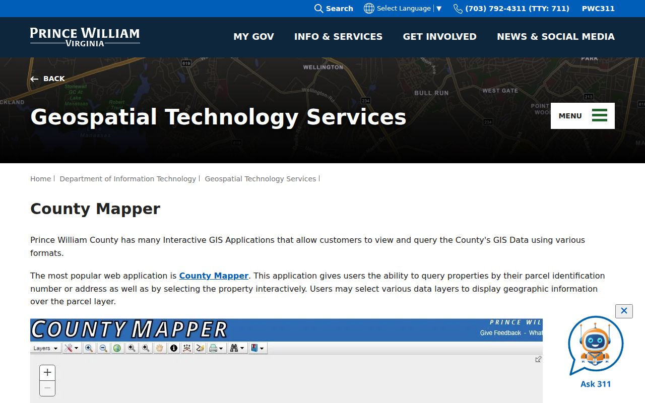
That search screen is a way to locate a parcel, not a claim about who occupies it. Save the returned GPIN with the source date.
Dale City Street Parcels Through Time
A modern Dale City lot can come from a larger tract, a split, or a combination. The Parcel History Tree accepts a GPIN and opens parent and child lineage through plus signs. Blue nodes mean the viewer has no next generation. That makes the tool useful when a plat or older deed describes land differently from the address now used on a Dale City street.
Use the tree as a map aid, then verify the connection in the Circuit Clerk's recorded document index. It does not replace a deed or establish a complete chain of title. A parcel relationship may explain why an earlier deed has a tract description while a later assessment uses a subdivision lot. This is especially useful in a planned community whose development began in the mid-1960s.
The Parcel History Tree GPIN lineage search illustrates the County's parent-and-child parcel view.
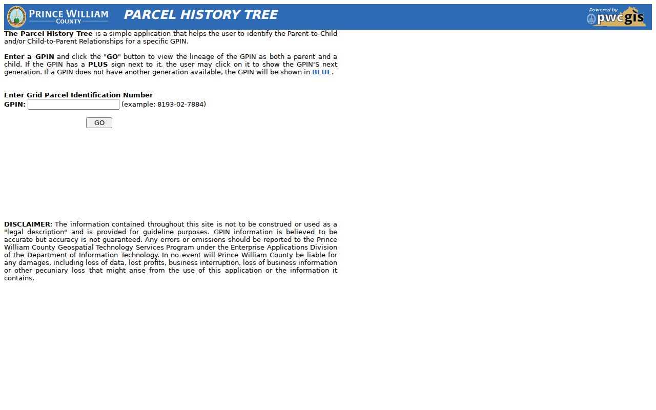
Pair a lineage branch with the relevant recorded instrument, plat reference, and date before treating two parcel labels as the same land.
Dale City Address Record Coverage
Several Prince William County records can be keyed to an address or GPIN, but each has a narrower purpose. The assessment file concerns a parcel and tax administration. A plat documents lots and easements. A recorded deed captures a legal transaction. Permits describe an application or project. A regulated voter list has its own access rules. Together they can clarify an address trail, yet none should be presented as an unrestricted directory of the people on a street.
| Address-keyed record | Keeper | What it can show | Documented access |
|---|---|---|---|
| Assessment record | Real Estate Assessments | Owner, sale date and price, legal and building description | Online assessment portal, phone, or Woodbridge office |
| Parcel map | County GIS | Address, GPIN, approximate parcel context, map layers | County Mapper online and GIS support |
| Recorded deeds and plats | Circuit Court Clerk | Parties, recording data, legal description, plat references | Free registered index, historic route, or Manassas counter |
| Permit or plan result | Development Services | Address, plan number, dates, status, main parcel, description | Public ePortal, with some materials requiring authenticated access |
| Voter registration list | Office of Elections | Limited public fields subject to statute and protected-address rules | Authorized request process or eligible individual portal use |
A mailing address in an assessment record can belong to an owner, trust, estate, or business. A deed party can have moved. A permit may name a builder or other project contact. Read the field label and date before drawing any conclusion about a Dale City street.
Dale City Street Directory Deed Trails
The Prince William Circuit Court Clerk is the land-record office for Dale City property. Its online records information describes deeds, related indexes, images, and plats from 1918 to the present. For a Dale City parcel, remote access begins at the Clerk's public land-record search, where the free index requires registration, sign-in, and agreement acceptance. Record the grantor, grantee, document or book-and-page reference, recording date, deed type, legal description, and any GPIN reference instead of relying on a surname alone.
Older routes deserve separate handling. RELIC materials point to the County's Historic Document Search for pre-1918 deeds and loose records, using its disclaimer and party-name flow. The Circuit Clerk counter is in Room 300, 9311 Lee Avenue, Manassas, and can clarify record custody at 703-792-6015. The Clerk's online case and land-record pages should be consulted for current copying procedures. A deed reflects ownership or legal interest, not guaranteed residence.
Property alerts are useful after a known parcel is documented. The Circuit Clerk's Property Alerts System can use a name or GPIN to send notice of a newly recorded associated document. Its document finder reaches back only three months, so it cannot replace a historical deed search.
Note: Start a deed chain with the newest instrument, then work backward by the named grantor and legal description rather than street name alone.
Dale City Street Permits and Accounts
The County's public ePortal allows no-account searches for construction permits, land permits, plans, inspections, and hearings. For a Dale City address, permit searching can use an address, permit number, or project name; plan searching can use an address or plan type. A result can display a plan number, applied date, type, completion and expiration dates, status, main parcel, project name, address, and description. Those fields document a project record, not a full occupant history or proof of current ownership.
For a known Dale City tax account, the County's Quick Pay route uses tax type, account number, and last or business name. It is not a street-wide discovery tool. The County tax-account lookup is shown below because it illustrates that account-based path.
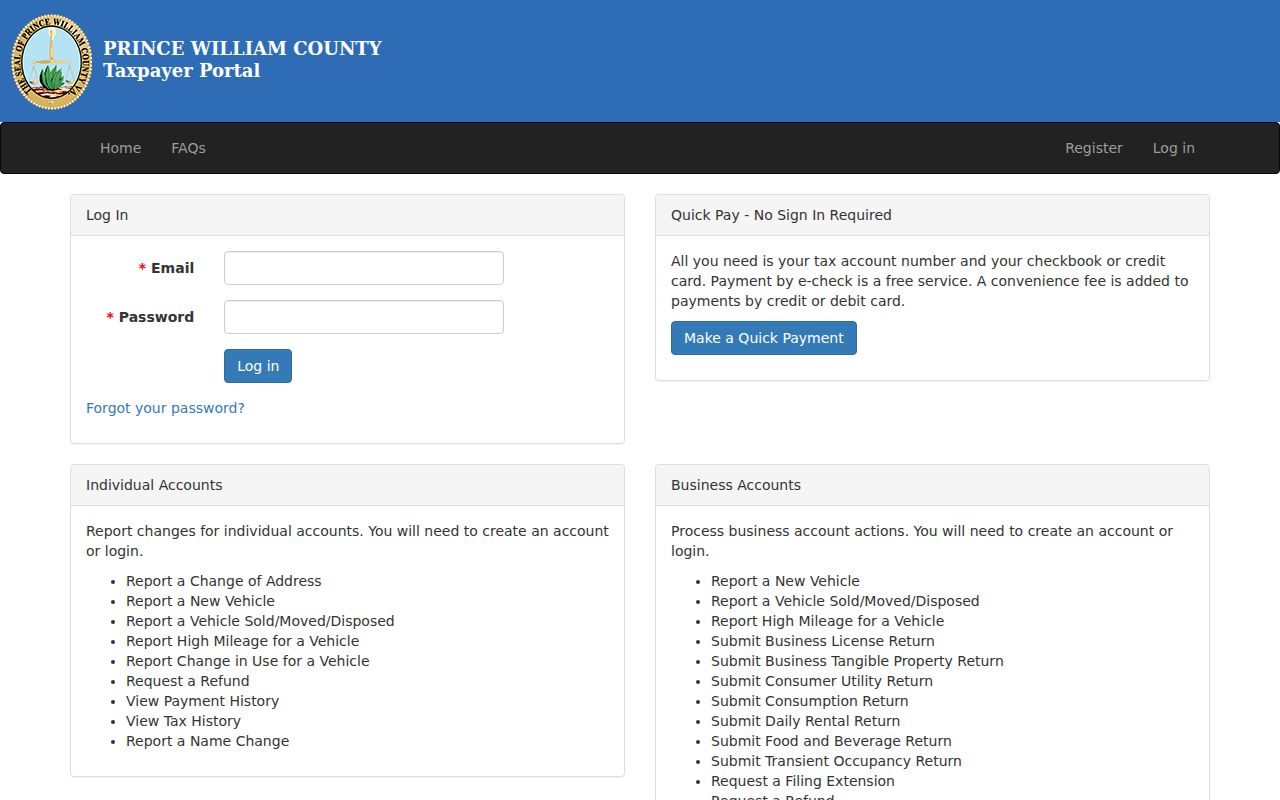
Use an account result only with the matching parcel and source date. Taxpayer Services can clarify a known account at 703-792-6710.
Dale City Street Names and Addresses
Address history in Dale City takes more than one label. The GIS FAQ says new addresses are assigned as development occurs and can change when streets are renamed, duplicate or out-of-sequence addresses are corrected, or a corner-lot issue is resolved. Preserve an old directory address as a historical variant rather than silently replacing it with a modern form. Compare it with the GPIN, plat, permit data, USPS-standardized address, and the wording in the recorded instrument.
Dale City is a CDP rather than an incorporated city. County searches may return Prince William County, Woodbridge, 22193, or a subdivision instead of the name Dale City. The ZIP is a mailing geography and the CDP is a Census geography; neither one supplies a complete legal street-boundary list. When the record's stated locality differs, retain both forms in the notes and search each one.
Consult the County's GIS GPIN and address-assignment guidance when an older address does not match the current map wording.
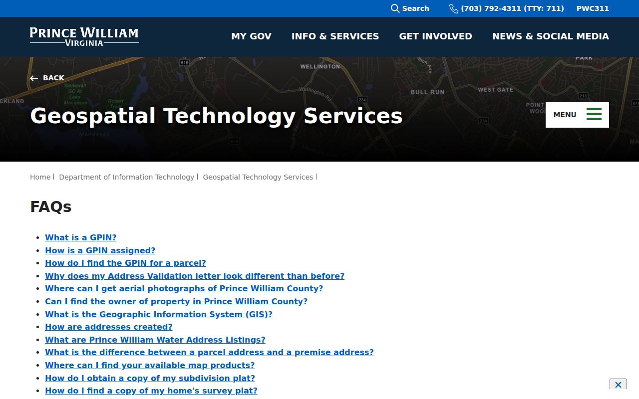
Address-assignment guidance helps preserve the difference between an historical address variant and the County's current mapped address.
Dale City Street Directory Origins
Dale City's planned-community history gives an address timeline useful context. County history says a 1964 rezoning opened the way for development, Dale City opened on June 19, 1965 with twelve model homes, and the first family moved in later that year. Earlier Prince William records may therefore describe farms, tracts, or nearby communities rather than a modern Dale City street. A missing early Dale City street hit does not prove the land lacked an earlier record.
By July 1968, County history estimated 8,170 residents and 2,070 households. Those are community totals, not household evidence. For a particular parcel, compare the earliest subdivision plat, initial assessment entry, permit chronology, and deed description. Historic Prince William identifies a 1972 street map that can help reconcile an older road label with a current GIS basemap.
Dale City Street Legal Events
The County Attorney publishes a foreclosure-auction list for judicial tax-sale matters. The County states that the Circuit Clerk does not maintain that list, and describes its process as applying after delinquency beyond December 31 of the second anniversary, with a redemption notice and listed costs. It is a limited court-and-tax event source, not a Dale City street directory and not a basis for assumptions about the people tied to a property.
Review the official Dale City-area auction-list page only to recognize the separate custodian and the narrow scope of this kind of record.
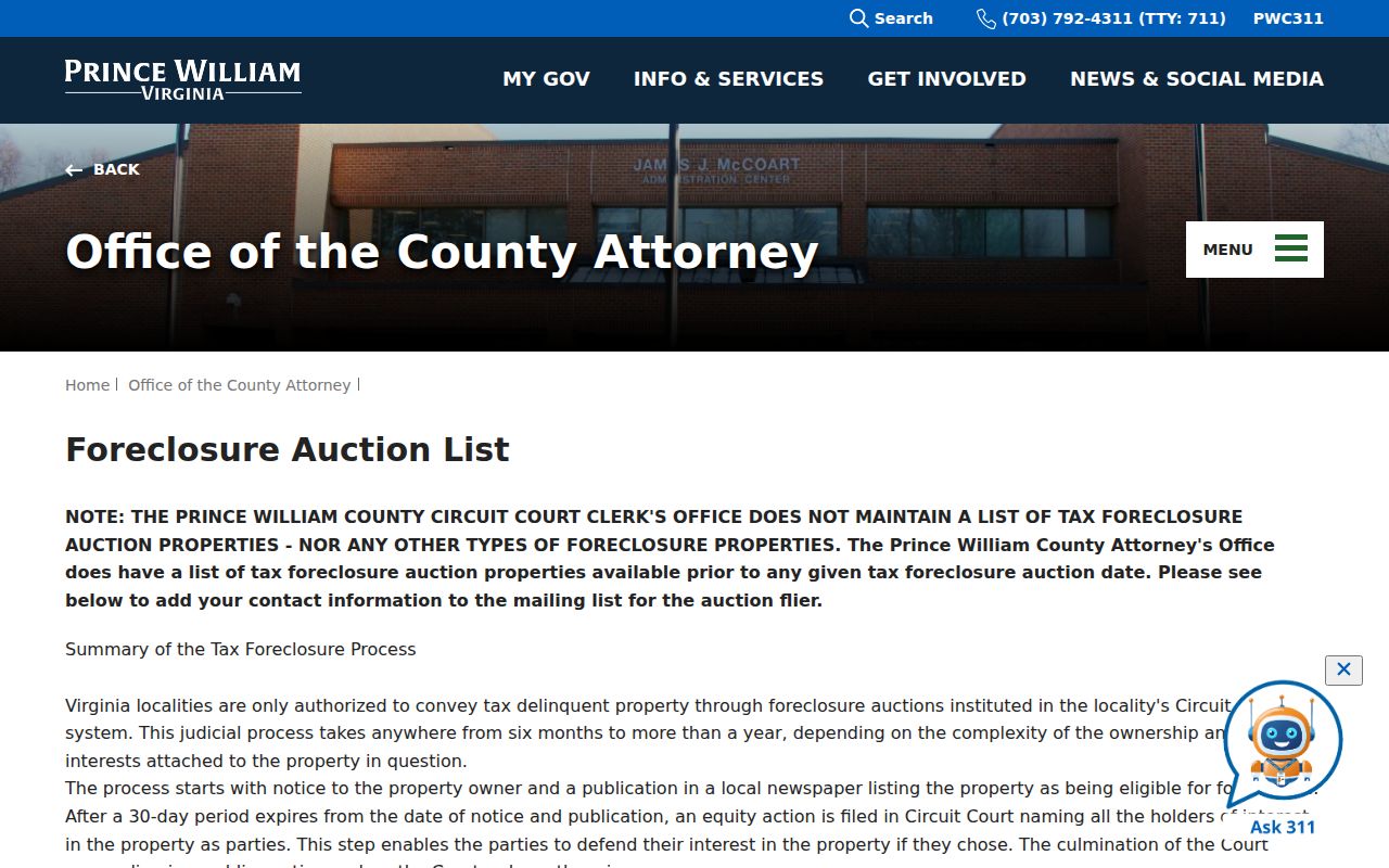
When a legal-event notice points to a parcel, verify the document path through the Clerk and assessment records rather than treating the notice as a household record.
Dale City Street Directory Privacy Limits
A street directory cannot reveal every person at an address. DMV driver and vehicle information is restricted under the Driver's Privacy Protection Act and Virginia law. Virginia's Address Confidentiality Program may supply eligible participants with a substitute mailing address, and protected voter addresses also have special treatment. Do not combine indirect clues to locate a protected person, and do not treat a map parcel as a household roster.
Lawful use. Dale City address and property records are for personal, lawful research. Virginia's stalking law bars repeated conduct intended or known to cause reasonable fear, so do not use record trails to harass, intimidate, or track someone.
Use a specific, releasable record request when an online result is incomplete. Prince William County FOIA accepts reasonably specific requests by mail, fax, email, phone, or in person, but it does not require an agency to create a new list or conduct custom research. Courts and some other entities use their own request routes.
Dale City Street Directory Access Routes
Online work is only the first route. County Mapper, the assessment portal, the Clerk's registered land-record index, the Historic Document Search, and the public ePortal handle different parts of a Dale City address trail. For a Dale City assessment question, visit Real Estate Assessments at 4379 Ridgewood Center Drive, Suite 203, Woodbridge, or call 703-792-6780. The office lists in-person service Monday through Friday, 8:30 a.m. to 4:30 p.m., and phone service from 8 a.m. to 5 p.m.
For land records, use the Circuit Clerk's Manassas counter or call 703-792-6015. For older directories, newspapers, microforms, and local-history material, RELIC at Central Library is the library route, while Dale City Neighborhood Library can provide local branch access and service referrals. A library, historical-society inquiry, or properly directed records request is often more productive than repeating a failed portal search. The Dale City city directory collection is the separate route for the historical volumes themselves.
The Virginia voter information portal serves an individual status inquiry after its identity and search flow. Registration and address updates have online, mail, and in-person routes. Public voter lists have separate statutory limits and protected-address rules, so they are not a Dale City street-directory roster.
Dale City Street Directory Terms
Record labels matter because a mapped location, a postal label, and a legal land description can point to the same place in different ways.
- GPIN
- Prince William County's unique ten-digit grid identifier for a parcel location.
- Parcel
- A defined piece of land used for mapping and assessment purposes.
- Situs address
- The physical location of a property, which can differ from an owner's mailing address.
- Plat
- A recorded map that can show lots, roads, easements, and subdivision layout.
- Criss-cross directory
- A dated directory arranged by address or street, rather than only by a person's name.
Use the source's wording when saving a result. That small habit makes a Dale City street-directory trail easier to verify later.